|
| The start... |
Mike, Brian and myself took the train from Cheltenham via Bristol to Bradford on Avon via Bath to walk the Kennet and Avon canal to Bath which is just under 10 miles. The Kennet and Avon Canal has an overall length of 87 miles made up of two lengths of navigable river linked by a canal. The name is commonly used to refer to the entire length of the navigation rather than solely to the central canal section. From Bristol to Bath the waterway follows the natural course of the River
Avon before the canal links it to the River Kennet at Newbury, and from there to Reading on the River Thames. In all, the waterway incorporates more than 100 locks. But today - Bradford on Avon to Bath - only!We picked a nice day, sunny and no prospects of rain.
 |
| The Cross Guns |
 |
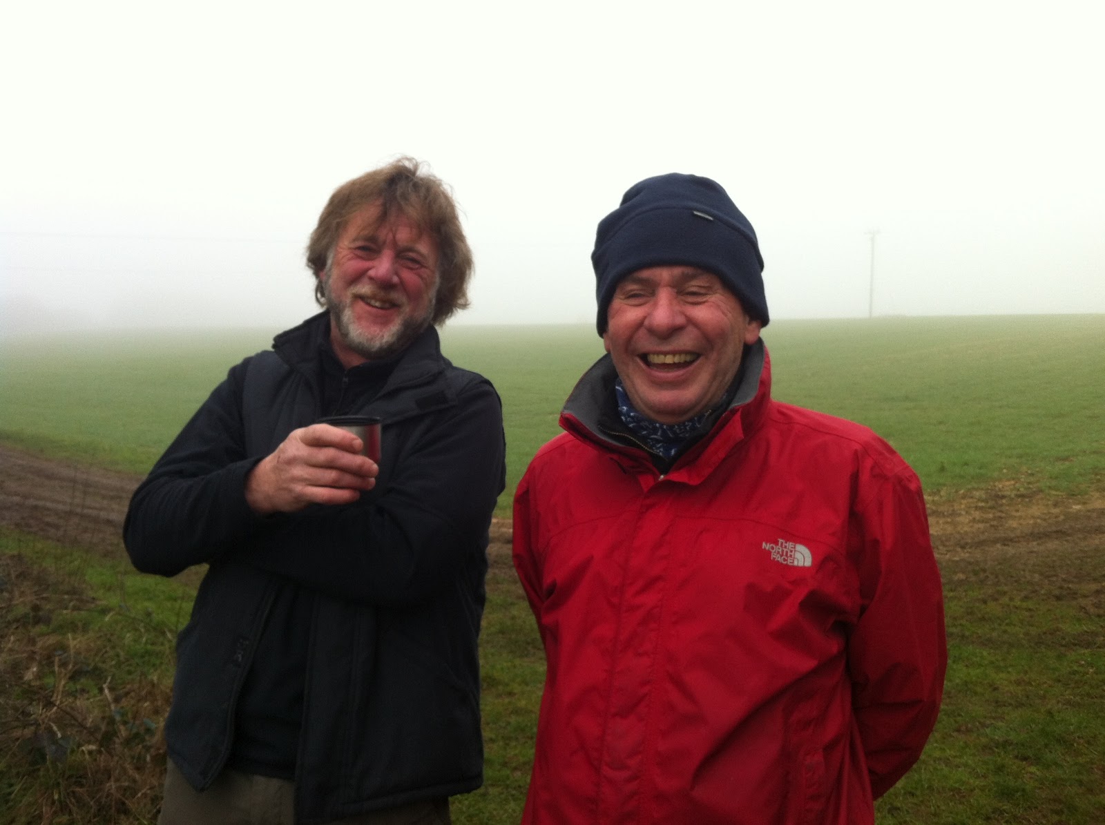
| Mike & coffee |
We left Bradford station, turned right at the road and right again just before the bridge through a yard to the canal where we started our walk on the right bank. All along the length of the canal there were barges and narrowboats in various states or repair, mostly in poor condition we noted. We walked steadily for a couple of miles and came to the Cross Guns pub where we stopped for coffee. This seems a very popular walking and cycling pub with lots of outdoor seating and tables close to the canal. We left the pub and crossed under the canal to join the towpath over the Arncliff aqueduct, passing the station on our right and continued our walk, with the canal heading off to the left and then right. I must say that the walk was a little boring so far with just the canal, the towpath and the trees to look at. There are no views from the towpath due to the overhanging trees and bushes, but things might improve. We stopped for coffee (again!) along the way, taking advantage of the benches along the towpath and repeatedly making comments about the poor state of some of the boats along the way.
We followed the canal, bending to the right again at the weir and arrived at Dundas Aqueduct, built by John Rennie and completed in 1805. We crossed the aqueduct and saw a number of people at the far end - mostly with cameras and binoculars. What could it be?
 |
| Add caption |
 |
| Diesel anyone? |
As we arrived at the far side, we could see on the left the main Wessex railway line and in the distance a cloud of smoke from a steam locomotive. Very exciting! The train passed below us and gave everyone the opportunity for photographs, even as it passed into the distance to our right. We rounded the basin at the end of the aqueduct and continued on our way with the canal on our left. As we approached Claverton we passed a water-borne petrol station which also served as a mobile shop to the boating community. Now, with the Avon and the railway on our right, we made o
ur way to Bathampton and as we rounded the canal turn there, we spotted the pub - the George Inn, where we stopped for a couple of pints of Tribute and thought about food. The George Inn at Bathampton dates back to the 13th Century and was originally a monastery, established by the Prior of Bath. However, it was full of diners at the time, so we opted to drink outside by the canal with only a short distance left to Bath itself.
 |
| Bath at last! |
Refreshed, we continued towards Bath and quickly on the outskirts looking forward to lunch at the Pulteney Arms, a pub we'd visited on a rugby night in Bath some time before. The view from the canal became grander as we entered Bath until we reached Sydney Gardens where it becomes very grand indeed. We quickly crossed the gardens and made for the pub on Daniel St but, alas, it was closed (after 1500) and despair set in...
 |
| No food at Pulteney |
In desperation we asked a builder nearby where the next nearest pub was and eventually we reached the Barley Mow an Bathwick St - not ideal and no food apart from crisps, nuts etc. - and poor beer to boot. We bided our time until 1700 talking nonsense and complaining (to each other) about the beer and then made for the Pulteney again to be told that the chef didn't start until 1800. More despair. A quick meeting resulted in agreement to forget pubs as food was the priority. Mike, our Bath expert, proposed Browns as the solution!
We then made for Browns, had more beer (Erdinger Weissbier - excellent rocket fuel) and an excellent late lunch/early dinner and made our way to the station for the train to Cheltenham, again via Bristol. The train worked a treat, we made use of the old folks concession cards and beats the car every time.
An OS view of the walk is below, courtesy of QUO digital mapping/OS