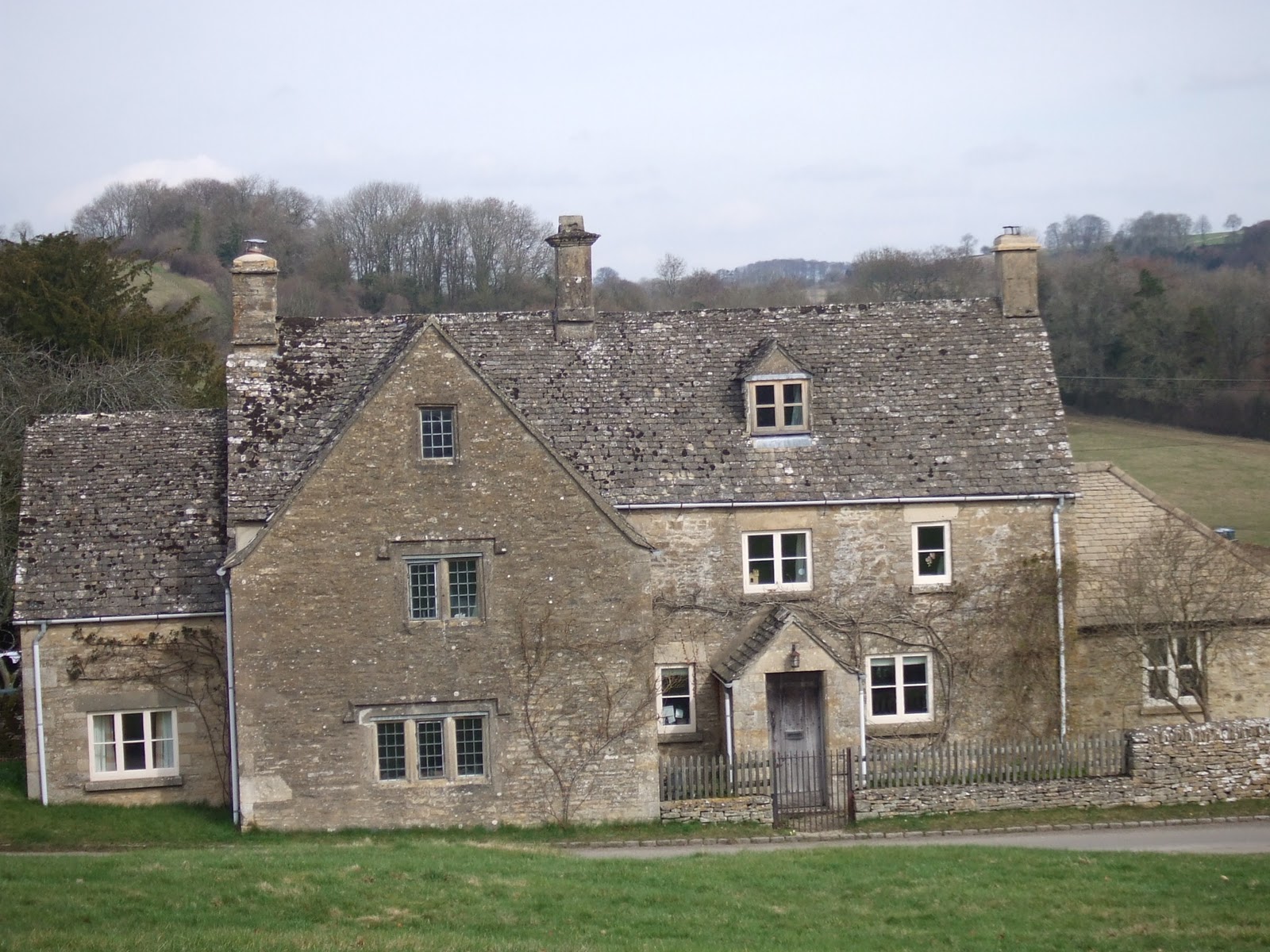
This was a walk with Dom on the now familiar 3.5 mile jaunt (1hour 20 minutes), starting in Miserden at the same place as on the 8th March i.e. next to the Carpenters Arms. We left the car at 11:00 and quickly left the village going towards the walled Miserden Estate by a now familiar path. We skirted the boundary wall and entered the estate via the gate and started downhill on the old sunken cart track, stopping to take (another) photo of the Jacobean manor house and the lake & hills beyond. We kept on towards the lake and followed it until we met a stream along side the track which guided us towards Caudle Green by way of a track which included a ford and a short climb to join the road into the village.
 |
Caudle Green |
We passed a number of typical Cotswold houses and climbed a final short hill to join the main village square before again cutting through fields and into the woods once more - only stopping to inspect whatever damage was done to my ankle by an insect which had got down my sock!
 The woods at Warren Hill were next as we descended again towards the floor of the valley with the stream and its familiar ford coming into view once again. After the ford, we turned to the right and crossed open meadow before joining a tarmac track which climbed up towards Miserden Manor and beyond to Miserden village. This was a steady climb and offered great views of the hills behind us. We soon reached the village again, found the car and changed footwear before a lovely lunch at the Carpenters (Dominic the usual Burger/fries and me the usual ham sandwich and salad!).
 |
Miserden Lake & Beyond |
 The woods at Warren Hill were next as we descended again towards the floor of the valley with the stream and its familiar ford coming into view once again. After the ford, we turned to the right and crossed open meadow before joining a tarmac track which climbed up towards Miserden Manor and beyond to Miserden village. This was a steady climb and offered great views of the hills behind us. We soon reached the village again, found the car and changed footwear before a lovely lunch at the Carpenters (Dominic the usual Burger/fries and me the usual ham sandwich and salad!).
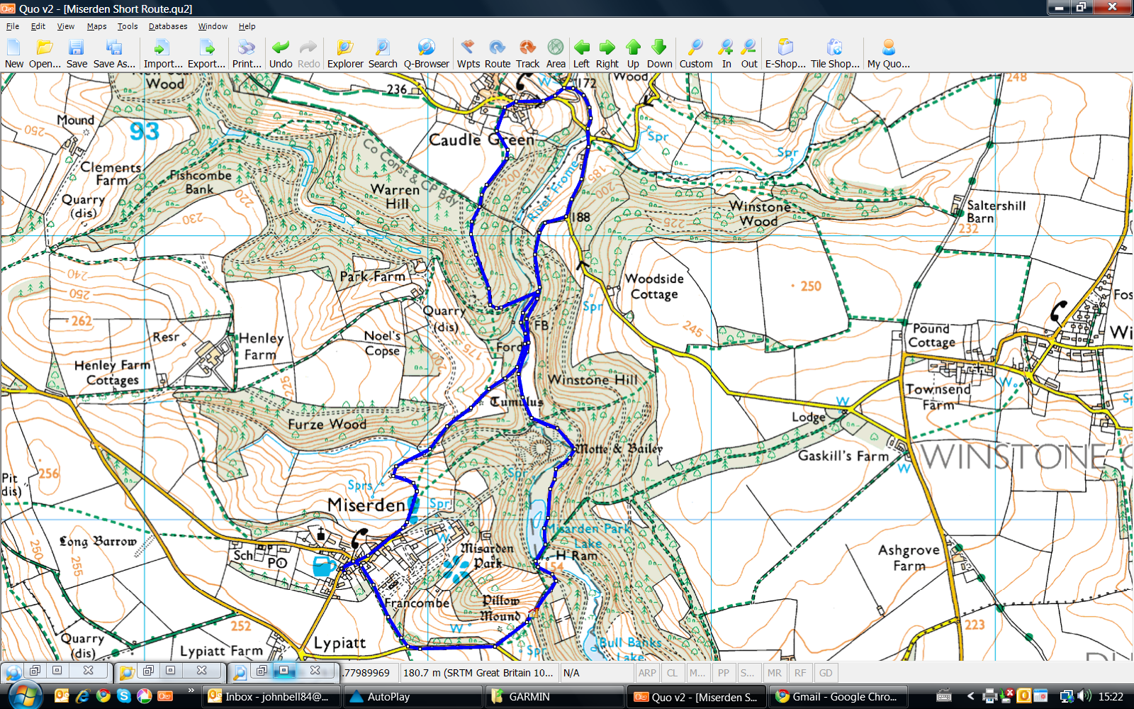
An OS view of the walk is below, courtesy of QUO digital mapping/OS:


