This was a solo walk of just over 6 miles starting at the village of Miserden and including the villages of Duntisbourne Abbots and Winstone.
 |
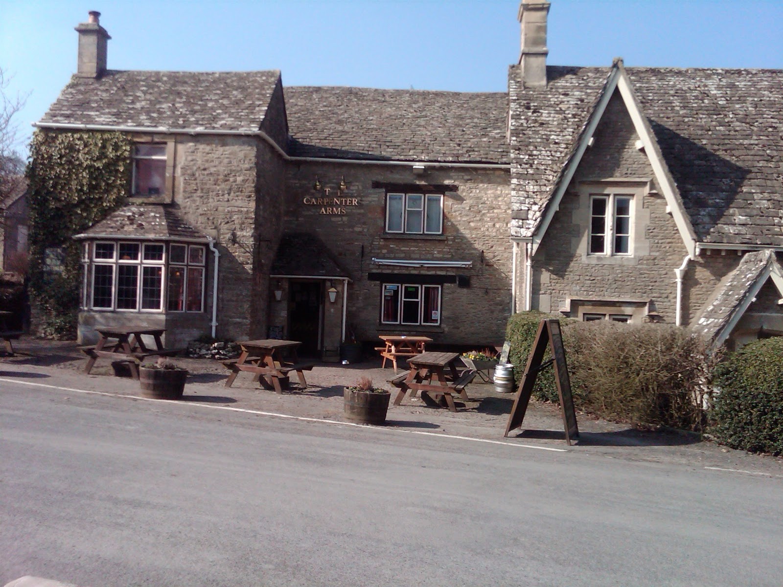
| Carpenters Arms |
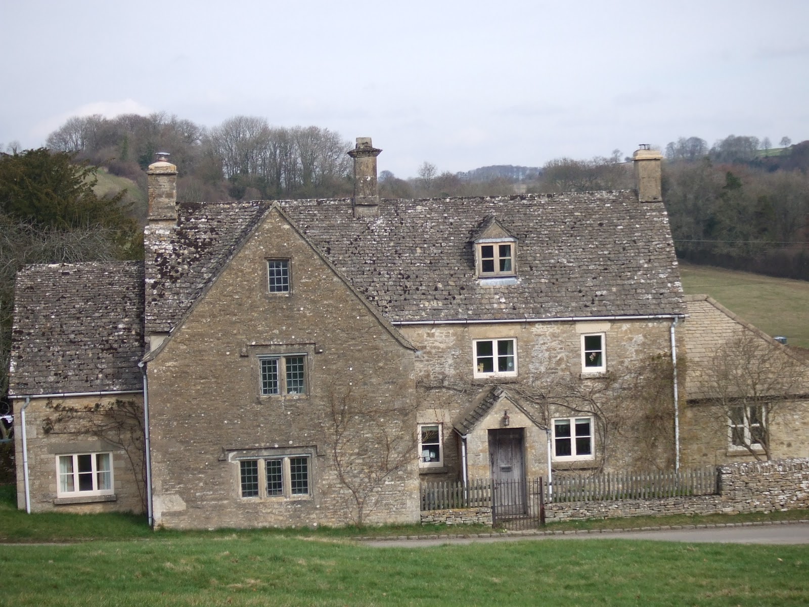
I drove to Miserden via Birdlip and Whiteway, parking near the Carpenters Arms pub on a crisp sunny morning. I passed the tree with the seats around it and passed between houses where the signpost shows the path, continued with a stone wall to my left which quickly becomes the boundary wall of the Miserden Estate - large greenhouses can be seen on the left.
I crossed a road and went across arable farmland, following a well defined path which heads left before entering woodland where the path becomes somewhat steeper veering to the left at the bottom of the incline, following a stream. I crossed the stream via the footbridge, crossed the meadow and started to climb the track which levels out and continues to the picturesque village of Duntisbourne Abbots.
I followed the road towards Birdlip then joined a footpath towards Winstone where I again left the road and went across fields to Gaskill's Farm.
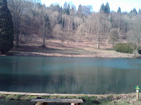 |
| Miserden Park Lake |
Passing the farm, I was quickly at the lodge, the entrance to the estate and followed the drive until I joined a grassy, muddy path going downhill. This quickly became very muddy and very steep until I arrived at the bottom and saw the lake. I kept to the left of the lake, joined a rough track left and started to climb up the other side of the hill along a sunken muddy cart track before joining the road again. There were great views of the estate and especially the lake and Miserden Manor from the vantage point. I quickly rejoined the main road and found the pathway back to Miserden village, declining to stop at the Carpenters on this occasion.

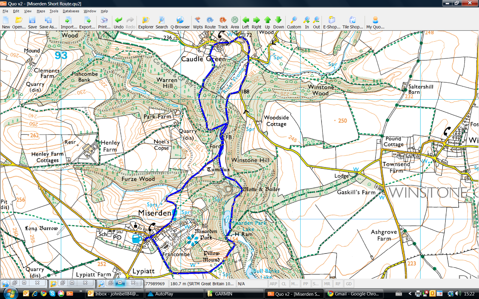
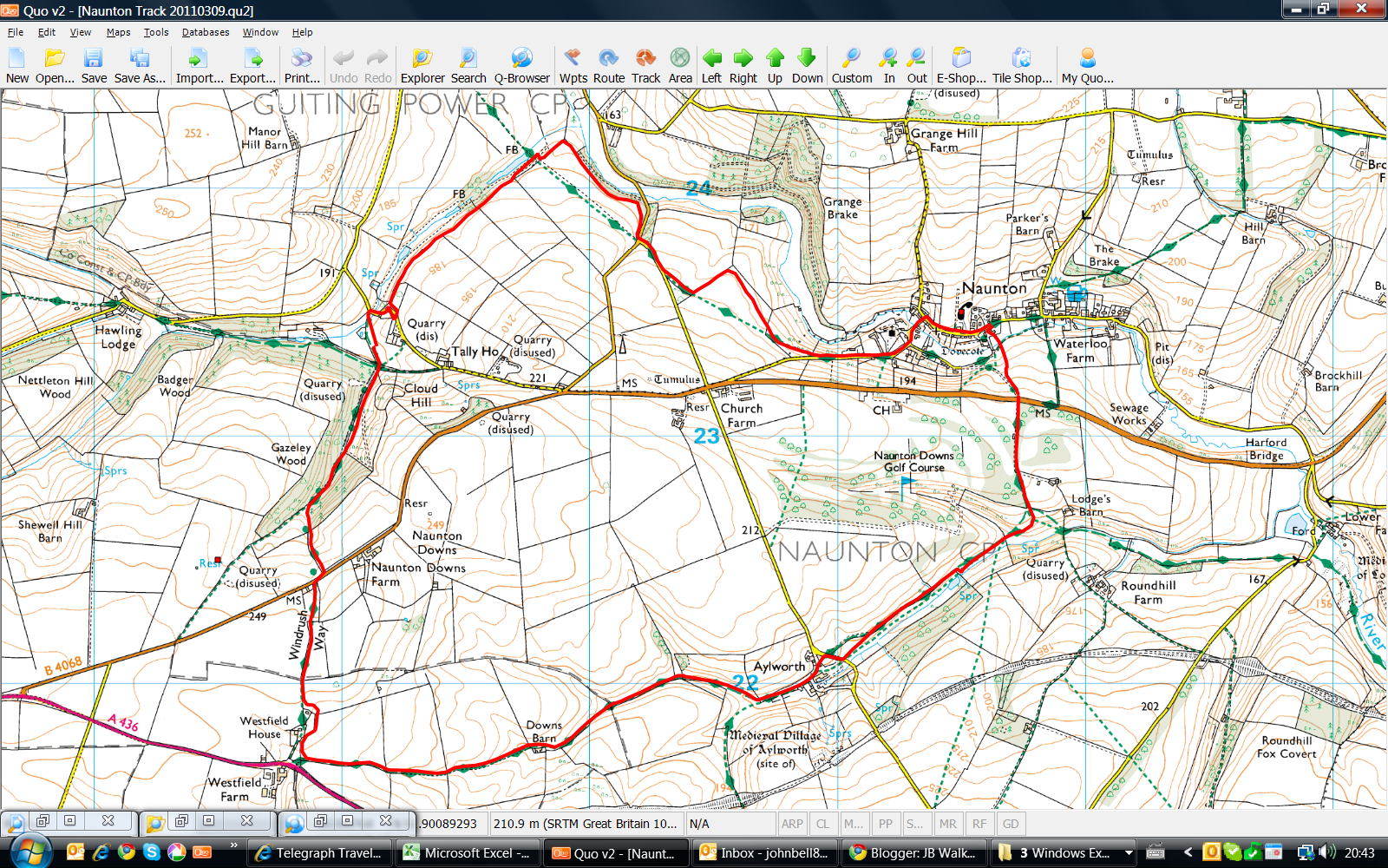
An OS view of the walk is below, courtesy of QUO digital mapping/OS:


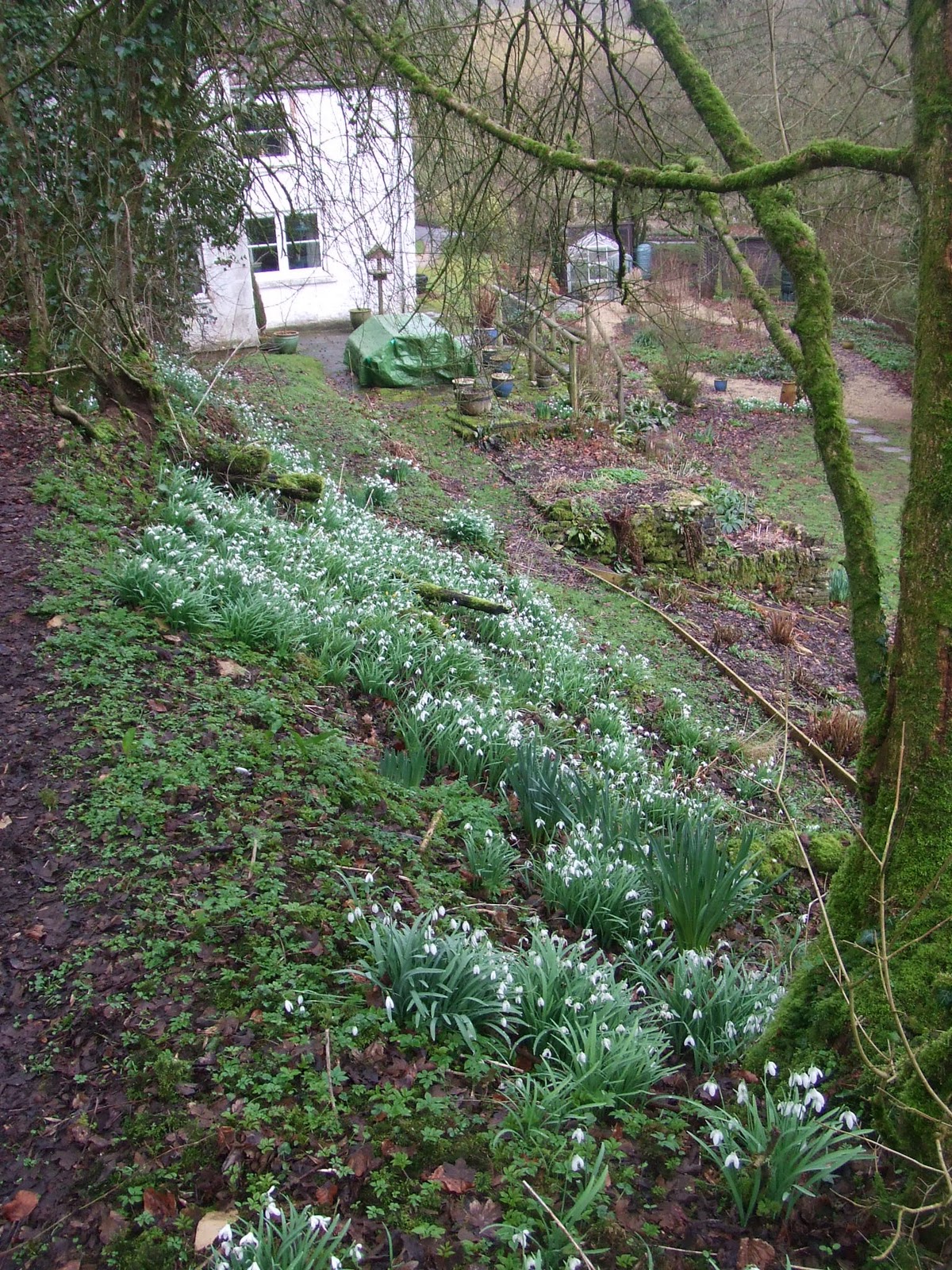


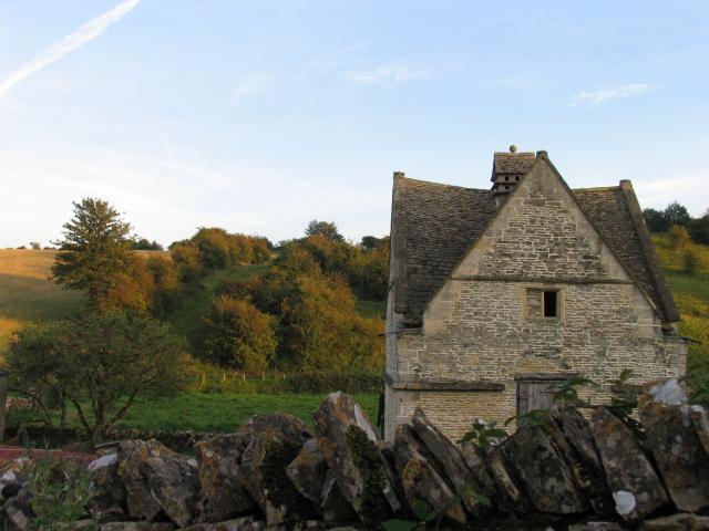

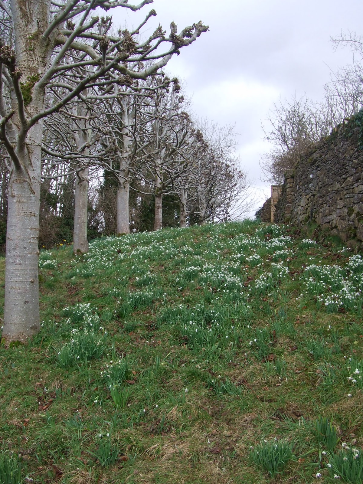


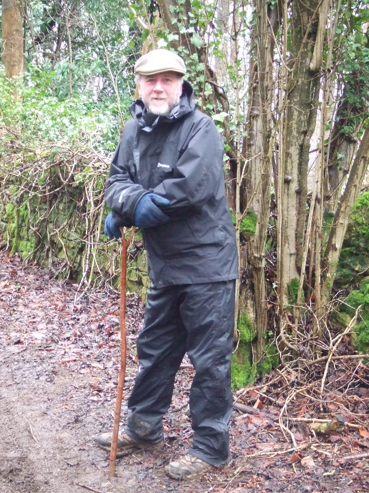 This was a 5.5 mile figure of eight walk done with Robin on his day off. Robin is a inexhaustible source of Cotswold walks and has taken on the role as my Yorkshire Three Peaks trainer... We drove from Leckhampton to The Camp and parked just off the road, crossing into farmland hurdling the electric fences and entering wonderful woodland on Famish Hill - even spotting a deer running across the path ahead of us. We followed the track towards the remote Dillay Farm and crossed the stream by a small rickety bridge, avoiding the geese. Climbing up the other side of the valley, we passed an abandoned gamekeeper's cottage surrounded by snowdrops and continued to follow Dillay Brook at the bottom of the valley with woodlands on our left. We followed the track towards Piedmont, crossed an area known as The Scrubs and entered High Wood, joining Southmead Lane for a short while, before going back into the woods again and passing the gamekeeper's cottage again. We took the track to the right on the return, passing a remote house before joining a trail through the woods which was very muddy and clearly popular with trail bikers as the track was all churned up and boggy with bike tracks everywhere. Eventually we left the woods and crossed fields, negotiating the electrified fences and re-joined the car near Camp.


